
Planning weekend hikes in the Winter can be exhausting. “What roads are closed? What trails are impassible? Do we need route-finding abilities in the fresh snow? How snowy is it at XYZ?” It’s frustrating, and we rely heavily on user-submitted trail reports to WTA and AllTrails. Stuggling to find an appropriate hike for the next day, and not finding a whole lot in recent trail reports, Maura and I committed to attempting a summit of Mt. Rose in the southern Olympics.
Saturday, February 15th, 2020.
Assuming most of the usual adventure traffic was headed to the ski resorts, we saw minimal traffic on the way to the trailhead, situated right on Lake Cushman. The drive took about two hours and ten minutes from Seattle, and what now unfortunately seems to be a ritualistic hiking occurrence, I once again smashed our Impreza’s undercarriage on a massive pothole near the trailhead. Thankfully, our tires and oil pan survived, and we parked to a half-full parking lot.
Mt. Rose Trail quick facts:
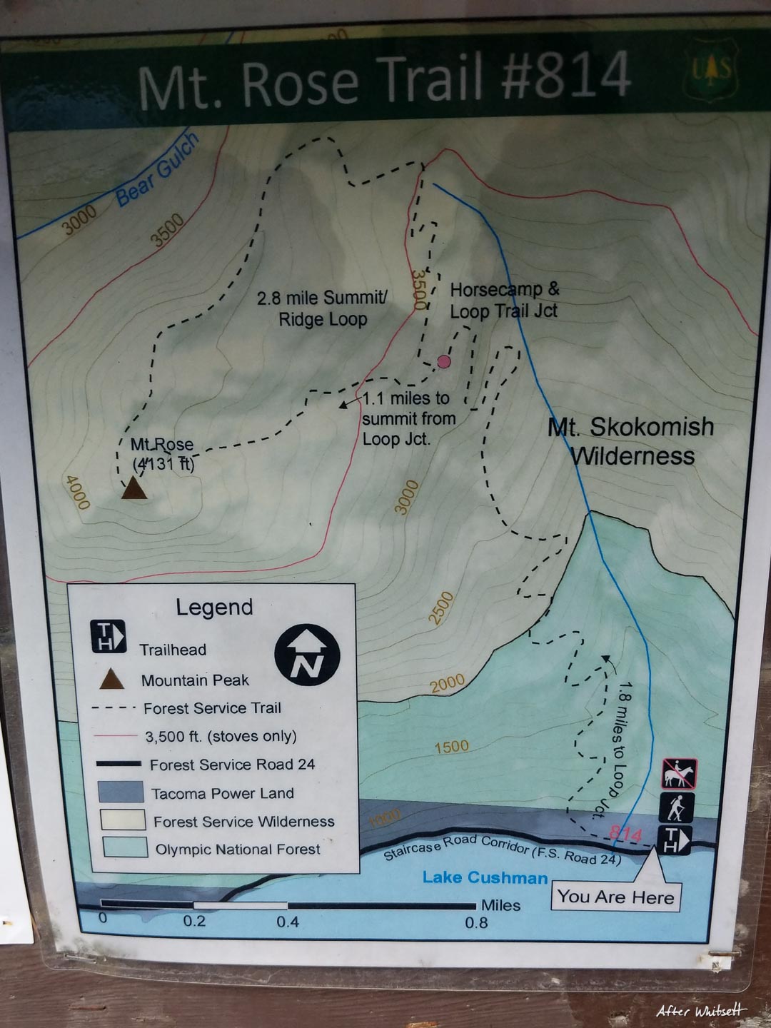
- Roundtrip length to the summit (following an out-and-back, not the loop) was about 6.5 miles.
- Approximately 3500 ft of elevation gain to the peak, which sits at 4131 ft.
- The trail got completely snow covered just above the Loop Trail Junction. It was easy to follow, but microspikes and trekking poles were necessary to reach the summit.
- A few trees were down over the trail, but it was otherwise very well maintained.
- Trailhead parking was only halfway full at 11:30 am.
- The dirt road to the trailhead is easily passable in 2WD vehicles, however there is an absolutely MASSIVE and devastating pothole on the transition from pavement to dirt road. Said terrifying pothole comes without warning and is just a few miles from the trailhead. Be careful and prepare to slow down, or you’ll be calling AAA.
- Mountain lion encounters are a possibility.
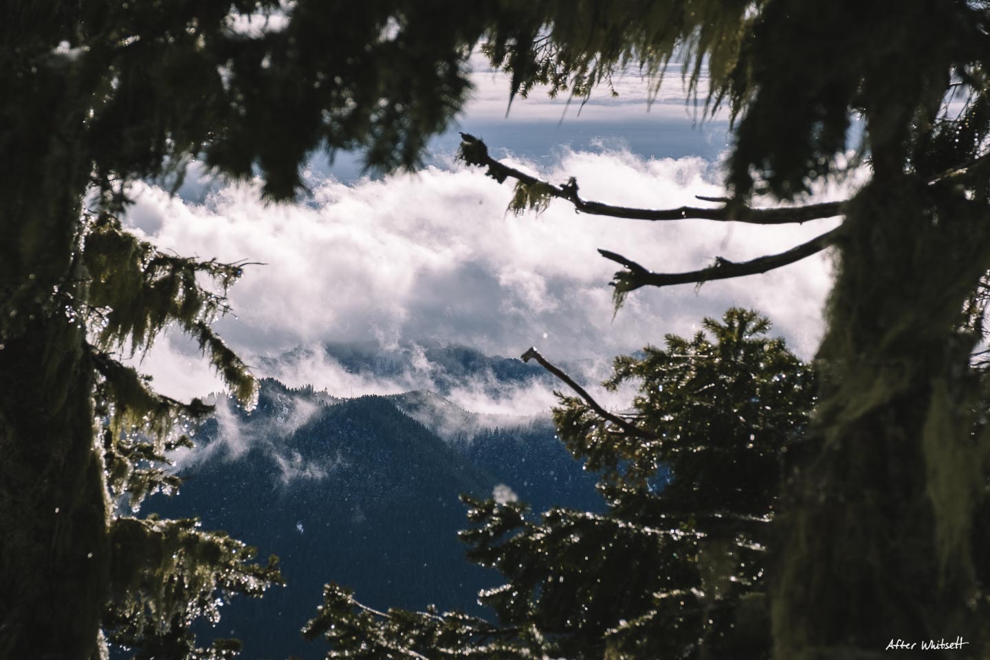
We set out on the trail at around 11:45 am – later in the day than we originally intended the night before. The weather forecast of rain and clouds had dampened our spirits a bit, so we had a slightly lazier Saturday morning. The trail ascends immediately and steadily for its whole duration, and right off the bat we were treated to light rain and moody fog. We had accepted that we probably wouldn’t get much in the way of views on top, or if we would even make it there, so photogenic fog would have to do for our cameras.

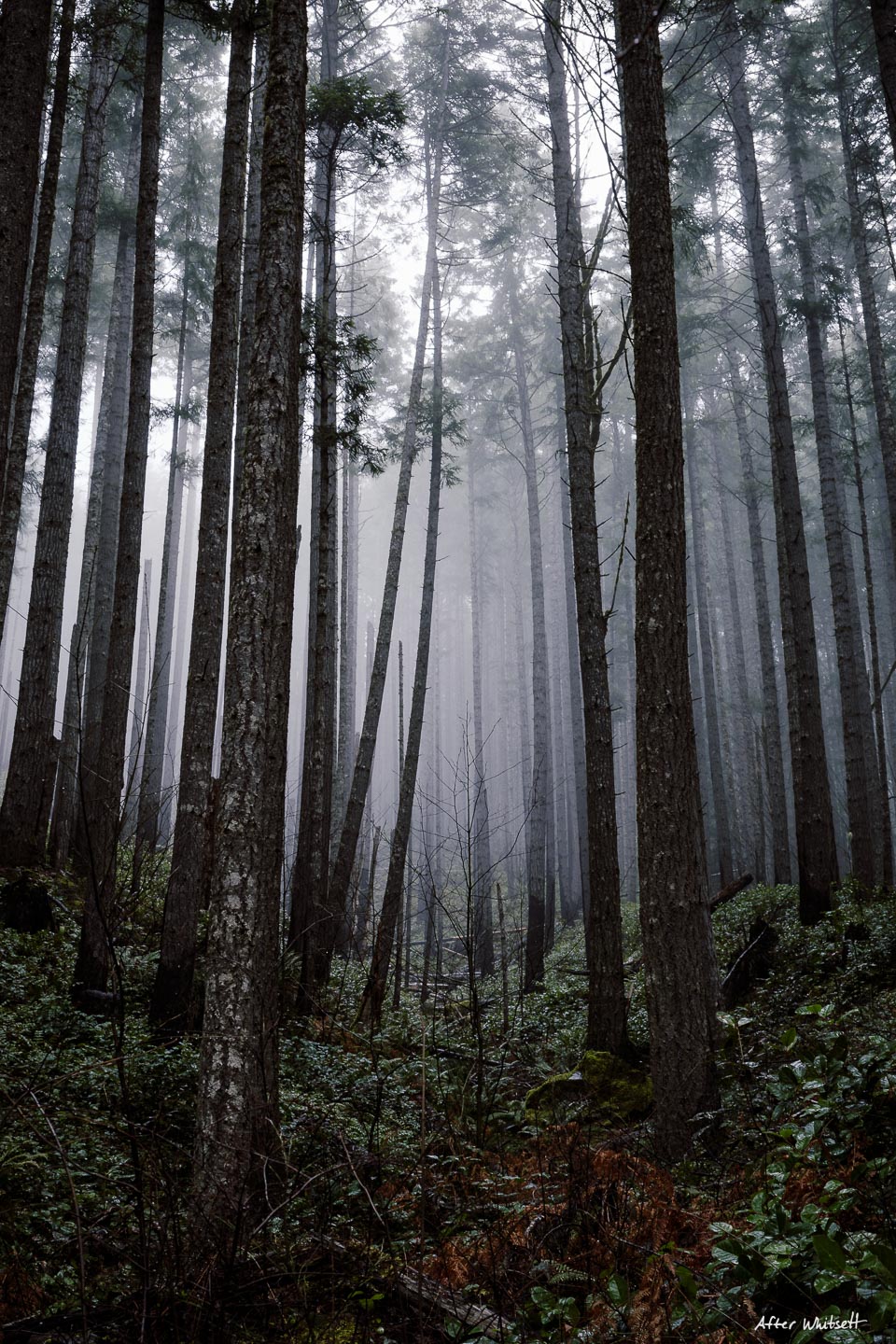
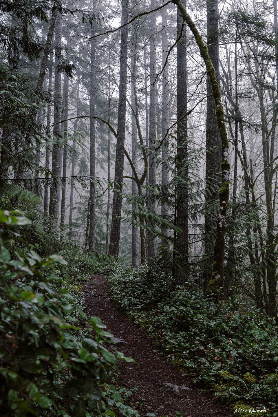
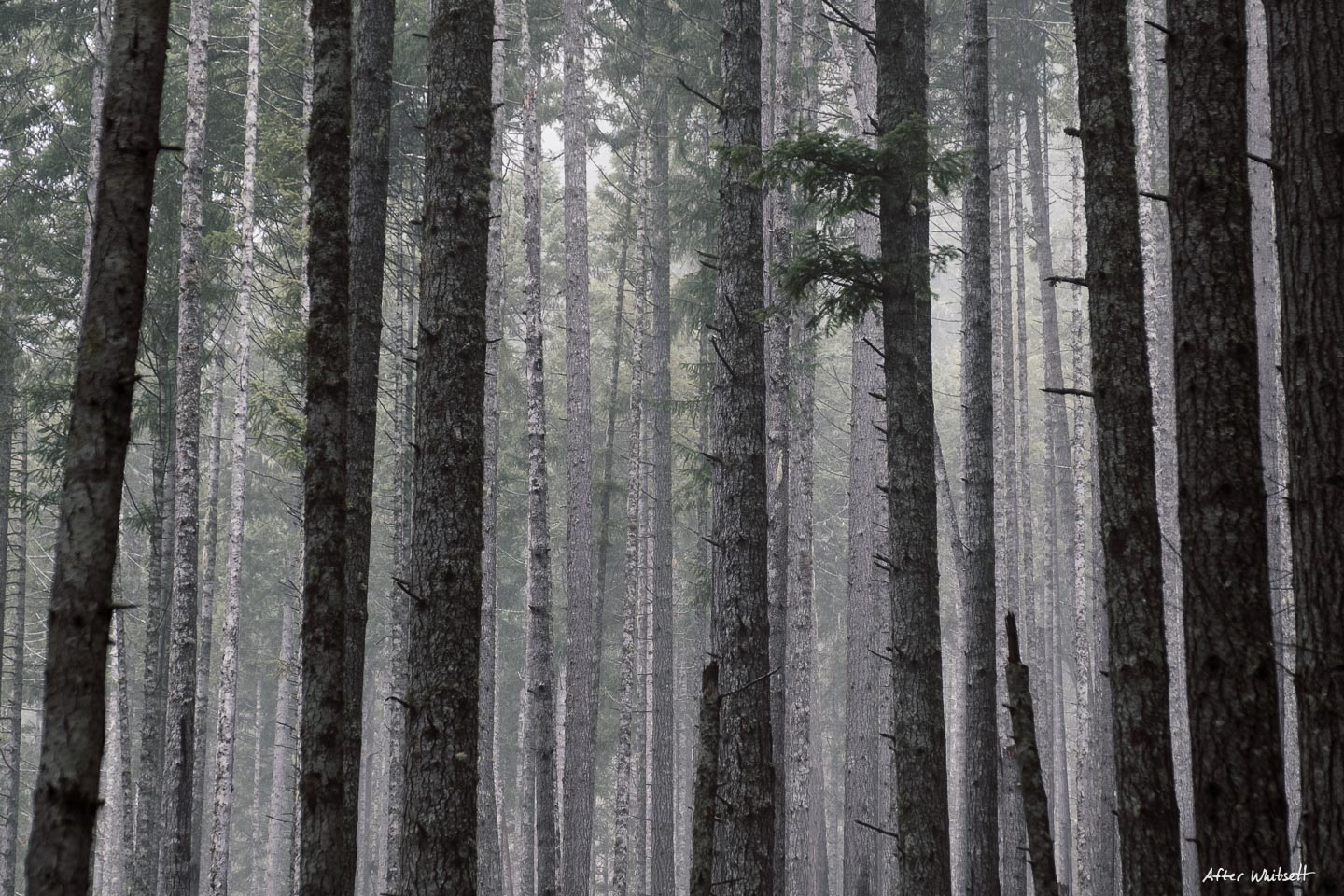
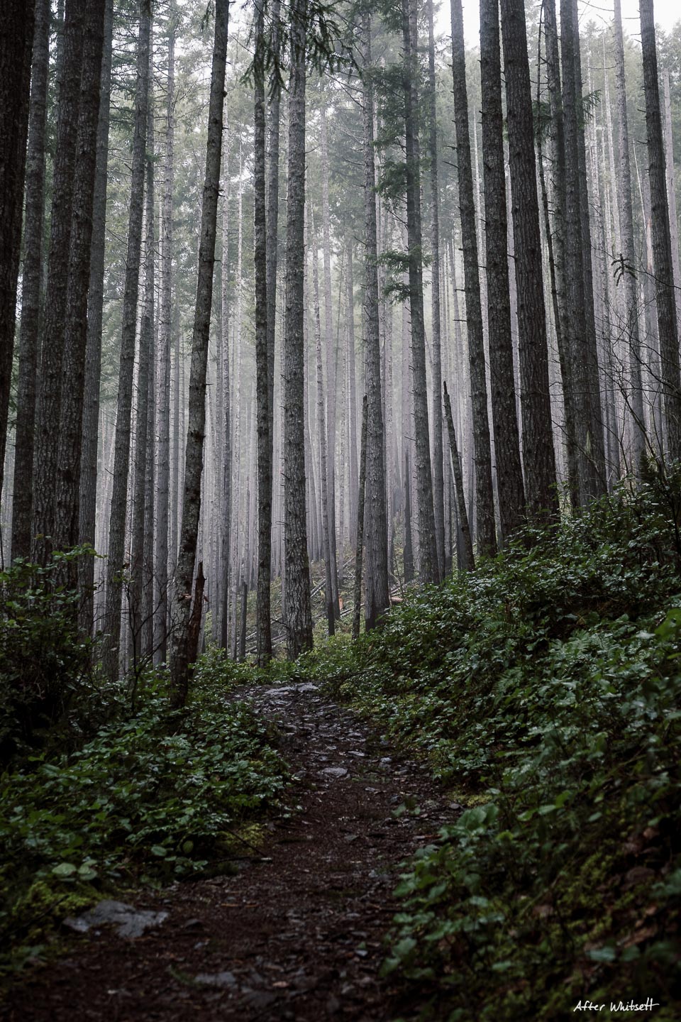


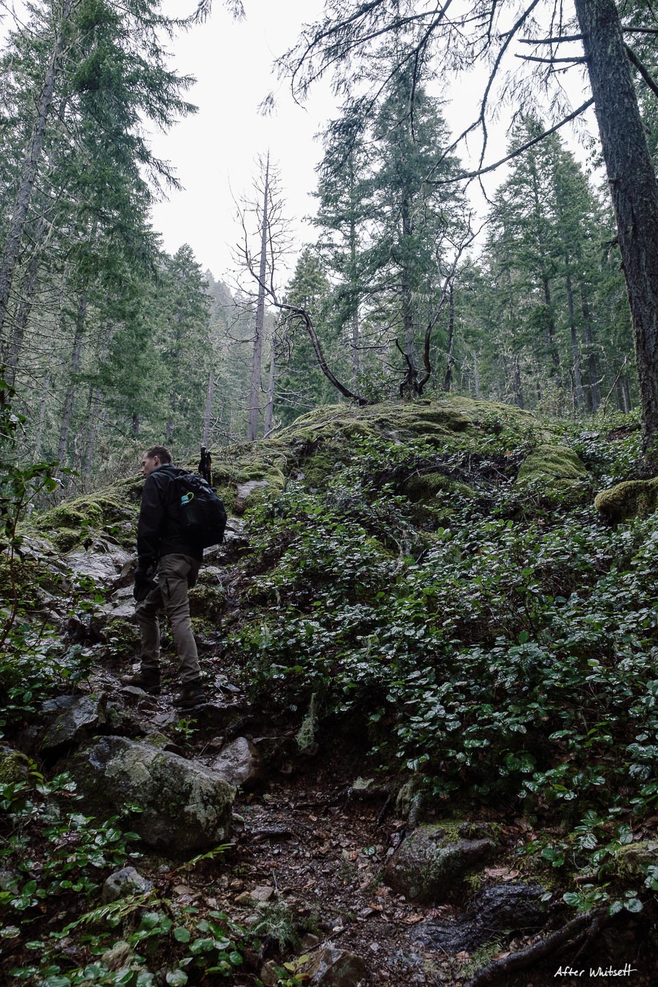
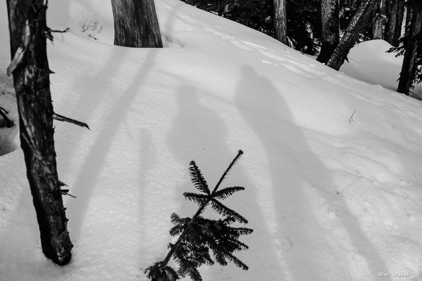
Without recent trail reports, we prepared for heavy snow and route-finding. This time, in addition to microspikes, we brought our trekking poles with snow baskets attached. This ended up being a great call, as the trail quickly became impassible without both. The poles made the awkward, icy scrambles much easier, and thankfully an easily identified path had already been blazed. The trail was also marked by orange streamers tied around trees. Much to our delight, we barely saw anyone else on the trail, and the snowy forested ascent was a desolate paradise.


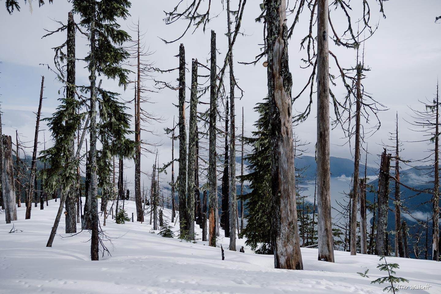
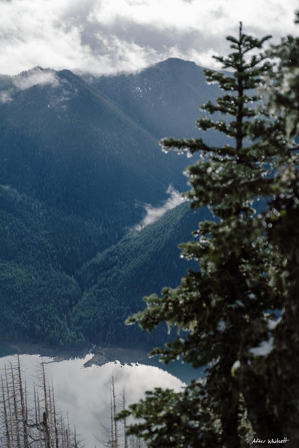
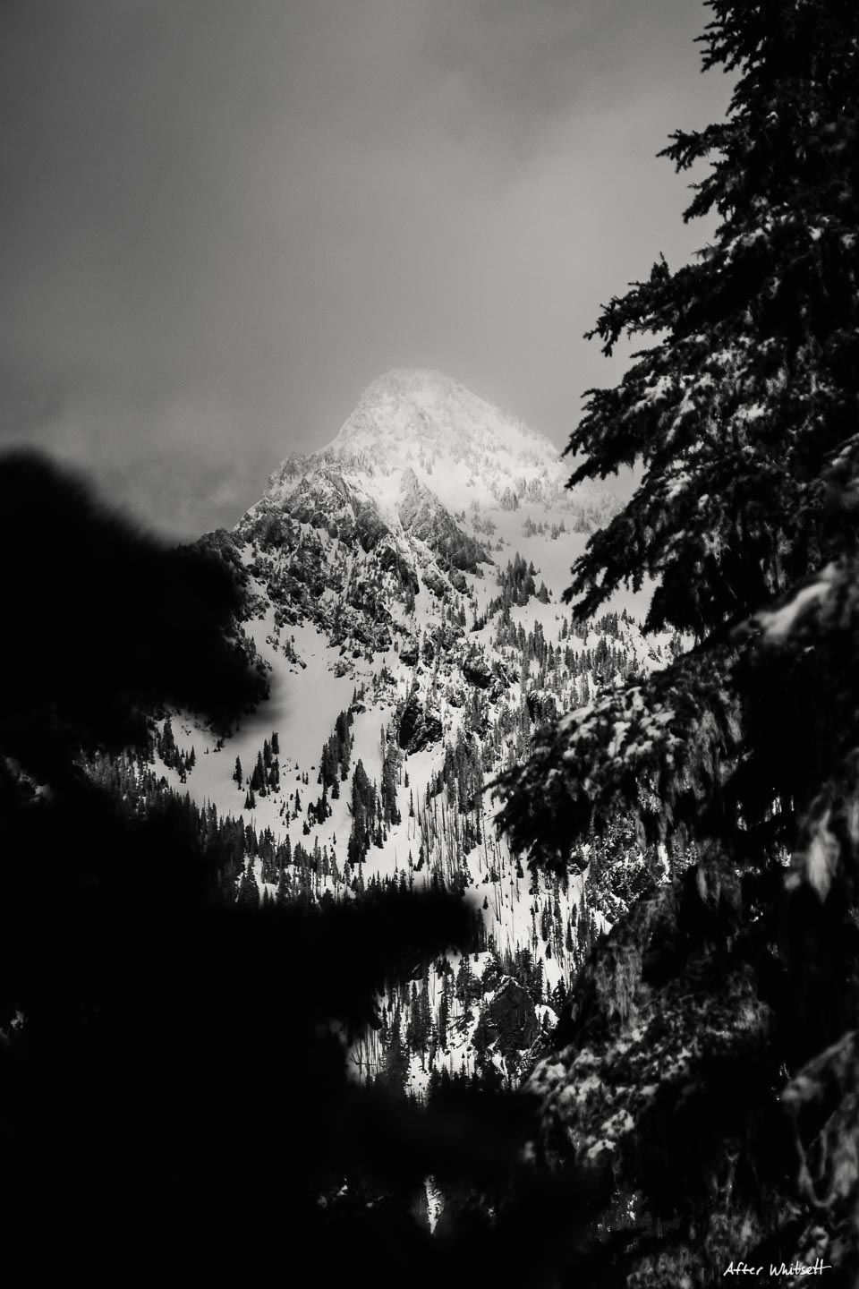
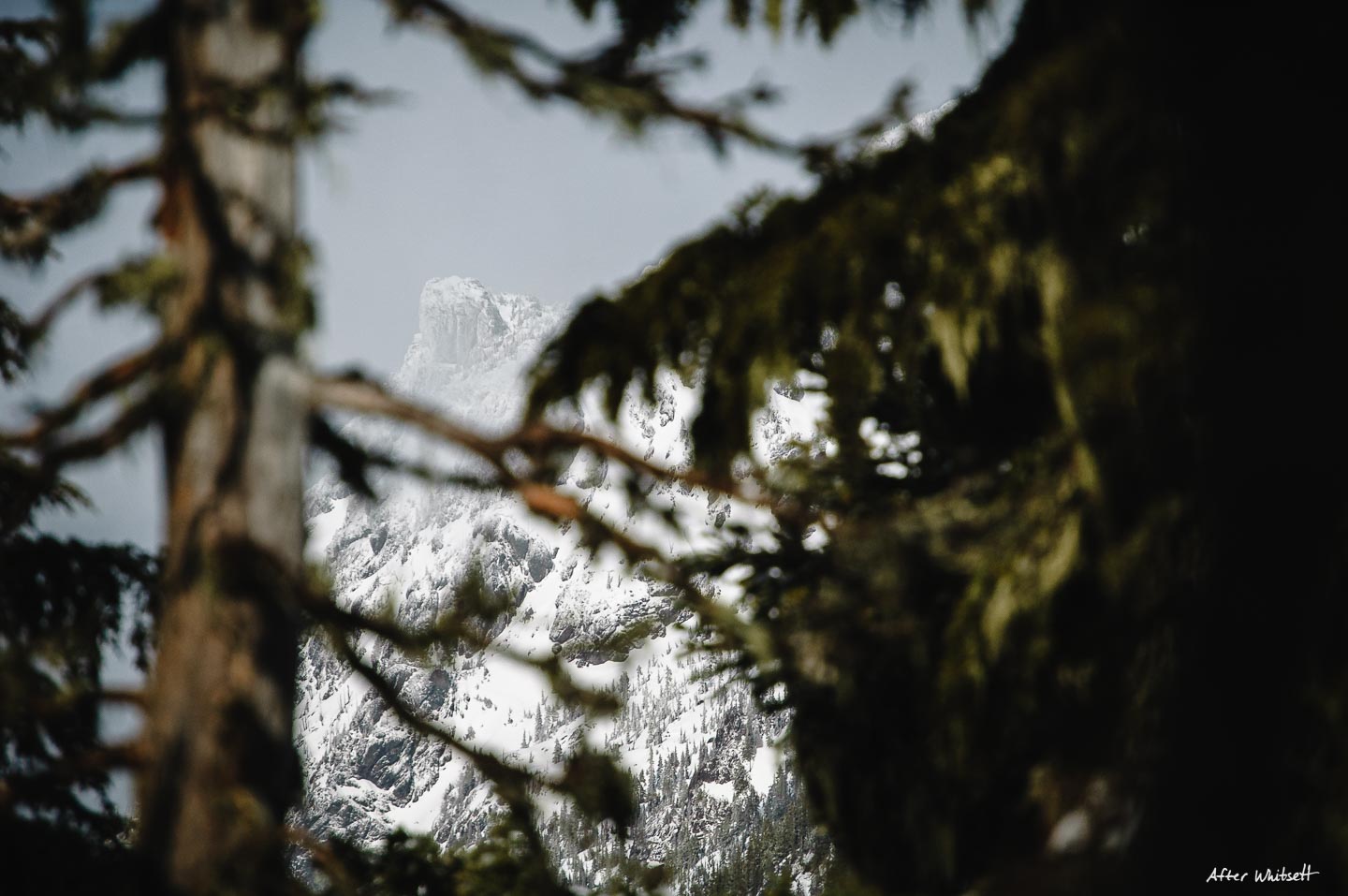
The rain clouds had parted just as we approached the summit! Views of Lake Cushman opened up, and the sun had finally shown itself. Leaving late due to a lack of excitement had paid off big-time. We found ourselves completely alone on the peak, with gorgeous, dramatic views of the surrounding mountains, including Mt. Ellinor, which we had summitted back in October. As is tradition, we donned our warmest jackets, cracked summit beers and ate lunch.


Mt. Rose is the perfect winter hike. We could not have been happier with our decision to go there. The trail was not crowded at all, and the mountain is easily accessible by a road that’s more or less at sea level. It will be a go-to for winters to come.
Two thirds of our way back to the car, we did encounter something that gave us more than just pause. A disembodied deer leg, chewed to the bone just above the knee, left right there on the trail. A mountain lion was in the area, although we didn’t know how recently. It was approaching dusk, which is when big cats are more active. Needless to say, our heads were on swivels for the rest of the descent. It was a chilling reminder to make sure you know what to do when encountering wildlife.
To read my WTA trip report, click here.
![]()


Annie
February 17, 2020 at 12:03 pm
This is so helpful, Dave. Wish I lived in the area to experience this trail. The pictures are stunning!
Pat
February 17, 2020 at 2:57 pm
Great trip report (& pix)
Susan C
February 26, 2020 at 5:01 pm
As always, pics are stunning and I love reading your story. I’m gradually getting more comfortable with you guys being in the wilds. Seems potholes are out to get you, though.